- 2006 PhD. Earth and Atmospheric Sciences, University of Alberta
- 2003 MSc. Earth and Atmospheric Sciences, University of Alberta
I am an editor for Remote Sensing, the International Journal of Applied Earth Observation and Geoinformation and the Unmanned Aerial Systems section of Frontiers in Remote Sensing.
Google Scholar profile
Dr. Margaret Kalacska
I am an Associate Professor in the Department of Geography at McGill University. My current research contributes to the advancement of remote sensing applications in environmental science and natural hazard monitoring and response.
In my lab we extensively use Remotely Piloted Aircraft Systems (RPAS), and airborne hyperspectral remote sensing from manned aircraft. We also work with satellite imagery (e.g. PlanetScope, Landsat, Sentinel-2), LiDAR and thermal imaging for detailed investigations of terrestrial and aquatic ecosystems, natural hazards (e.g., wildfires, volcanoes) and infrastructure. We are a world leader in RPAS hyperspectral imaging.
In collaboration with the National Research Council of Canada's Flight Research Laboratory we developed the second fully operational RPAS-HSI system in the world. This system has been in use for the Canadian Airborne Biodiversity Observatory (CABO) since 2018 to estimate biodiversity and ecosystem functioning. We are currently working on an exciting new custom heavy lift RPAS specifically for hyperspectral imaging to be unveiled in the spring 2023!
Through the Fish + Forest project we study aquatic habitats of endemic and endangered ichthyofauna, producing the first aerial and underwater 3D reconstructions of riverscapes in Brazil. Our research also examines large-scale land use change for biodiversity conservation from satellite imagery and contribute to satellite data product validation (Landsat 8 OLI and Sentinel-2) for Canadian peatlands.
I was the first Canadian woman to lead an airborne hyperspectral mission (MAC-13) in Costa Rica in 2013 for forest carbon stock and biodiversity estimation. My interdisciplinary research is carried out in Canada, Brazil, Tanzania, Ghana, Peruvian Amazon, Panama, Madagascar and Costa Rica.
In 2014, I was awarded the Fessenden Prize for Science Innovation by McGill University and in 2018, the Silver Medal from the Canadian Remote Sensing Society, the highest mid-career achievement award recognizing excellence in remote sensing in Canada. I was nominated by the National Research Council Canada for the 2020 Steacie Prize in Natural Sciences.
Current Students and Staff
Brendan Cottrell
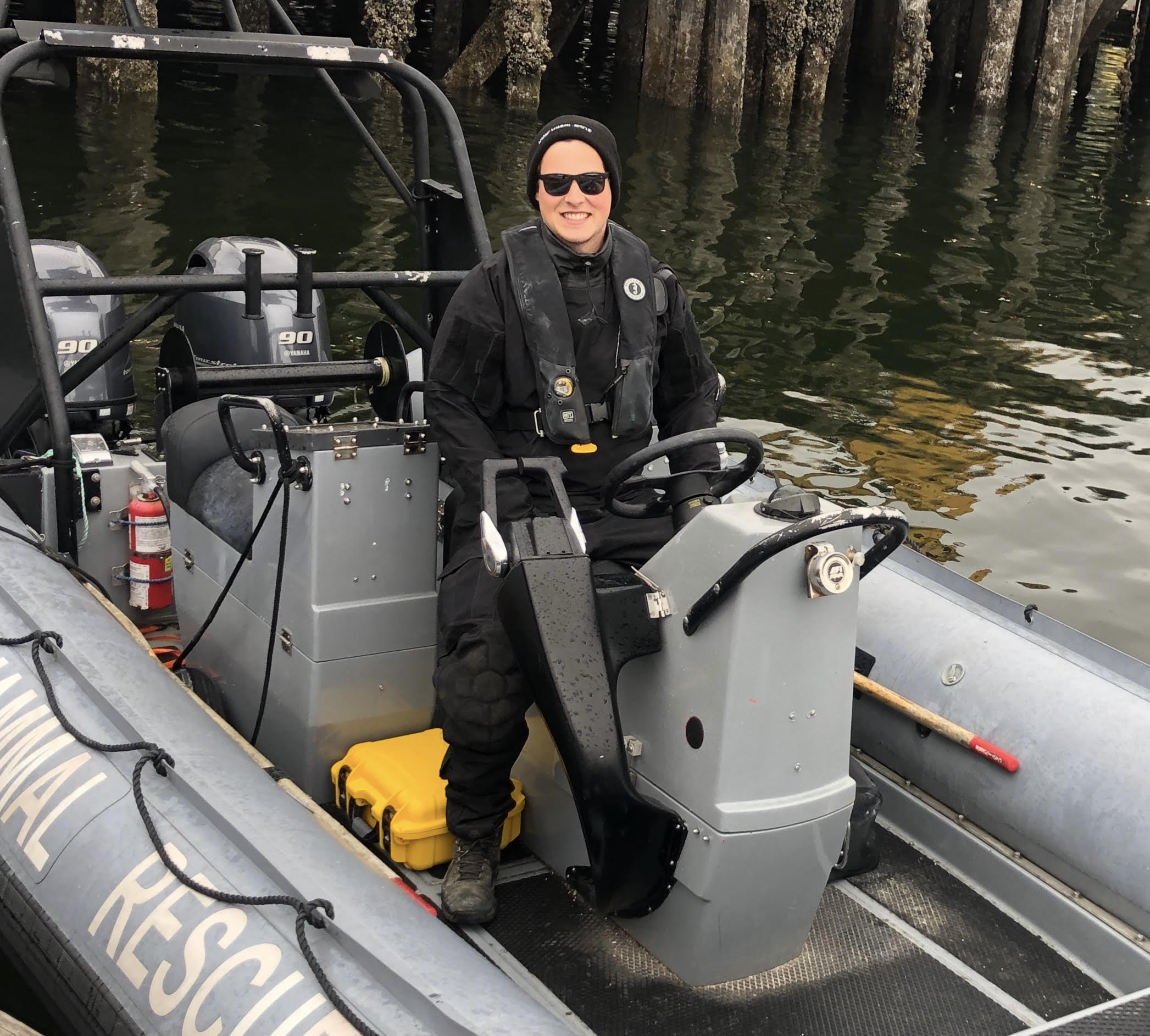
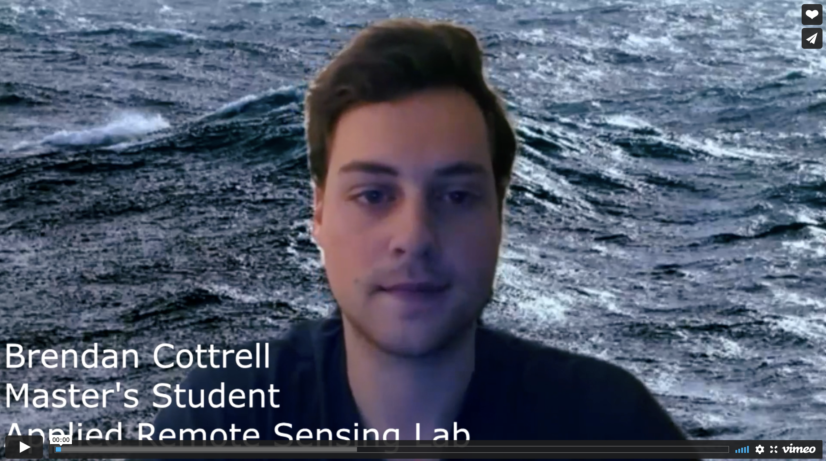
Brendan Cottrell is a MSc student in the Applied Remote Sensing Laboratory in McGill University's Geography department where he studies the application of remote sensing and drone technology in marine mammal conservation. Brendan graduated from Simon Fraser University with a Bachelor of Science in Applied Physics, later finishing an Advanced Certificate in Geographic Information Systems from the British Columbia Institute of Technology. After graduating from Simon Fraser University, Brendan worked with the British Columbia Marine Mammal Response Network where he was involved in marine mammal rescue, necropsies, and research. Brendan's current research is examining the ability of drones and remote sensing techniques to characterize and catalogue the prevalence and severity of entanglement scarring on large whales such as humpbacks. The collection of baseline data on large whale entanglement rates and impact allows for both fisheries and marine mammal managers to implement more effective solutions in limiting these events.
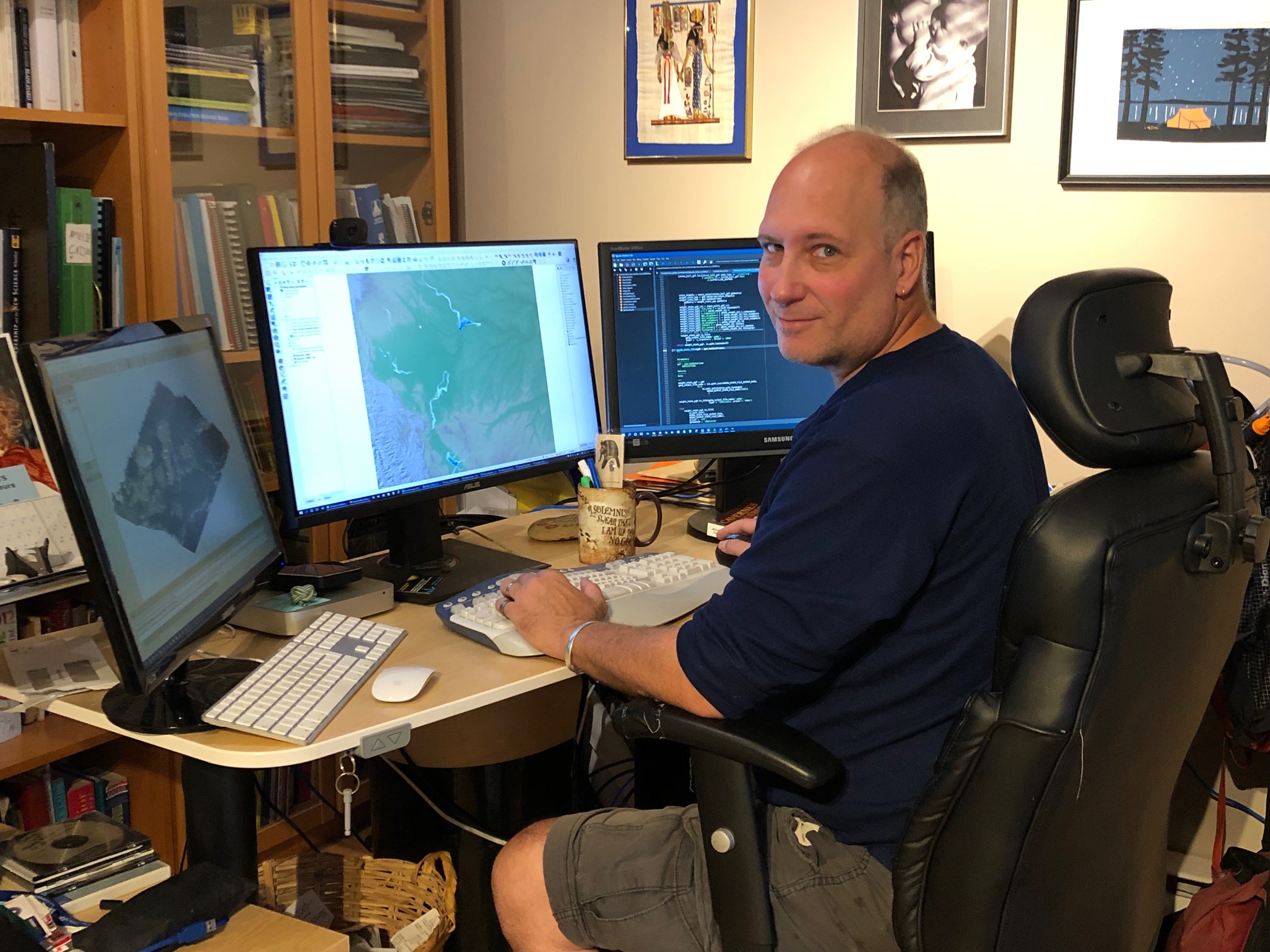
Nicolas Cadieux
Digital elevation models (DEMs) were among the first digital geographical information to be readily available and widely used. At the Earth Resources Observation and Science (EROS) Centre of the United States Geological Survey (USGS), DEMs represent the most popular data set distributed with an average of one 1⁰ x 1⁰ tile downloaded every second of every day!
In archaeology, they are frequently employed, with examples dating back to the late 70s and early 80s, because they represent a concrete, directly observable phenomenon that humans can relate to: the surface of the planet.
DEMs allow a vast array of GIS-derived analyses (i.e. slope, shade, aspect, viewshed, path analysis, flood risk analysis, drainage modeling, etc) that all directly relate to how past and current humans, and their prey, experience, perceive, interact and adapt to the landscape and the environment. Topography increases biodiversity, influences soil development, human settlement, and land-use pattens. It is an important element in settlement patterns.
In Canada, Natural Resources Canada (NRCan) has produced the Canadian Digital Elevation Data (CDED) and the Canadian Digital Surface Model (CDSM). The NASA Jet Propulsion Laboratory (JPL), Japan’s Ministry of Economy, Trade and Industry (METI) and the Japan Aerospace Exploration Agency (JAXA) have also released global or near global DEMs (SRTM, ASTER GDEM, AW3D30 respectively). Each has its own qualities, limitations, and level of precision that may, or may not, be adapted to an archaeological research question. Faced with a multitude of DEMs to choose from, even researchers well versed in GIS find themselves lost in this myriad of numerical terrains.
My research goal is to help archaeologists and other researchers to find their way across the various digital landscapes. It focuses mostly on freely available models covering the Canadian landscape that overlap provincial boundaries while maintaining a Canadian perspective on the data as Canada’s northern latitudes present both advantages and unique challenges to model developers.
My PhD project looks at how DEMs are employed by archaeologists. My goal is to help researchers with important concepts that will help them understand the basic characteristics of current, and future elevation models. Using high precision (15 to 30 cm) light detection and ranging (LiDAR) data from 32 LiDAR campaigns flown across Canada (22,150 km2), each model is tested to assess its vertical precision as well as the usefulness of the metadata. This should permit archaeologists and others to carefully select the most appropriate DEM for their research question and will serve to answer Kvamme’s call for archaeologists to be concerned with “the quality of data obtained by computer means”.
Research interests: GIS, Python, DEM, LiDAR, HSI data fusion, Graph-Network analysis
Publications
Cadieux N., Kalacska M., Coomes O.T., Tanaka M., Takasaki Y. 2020 A Python Algorithm for Shortest-Path River Network Distance Calculations Considering River Flow Direction Data 5(1):8
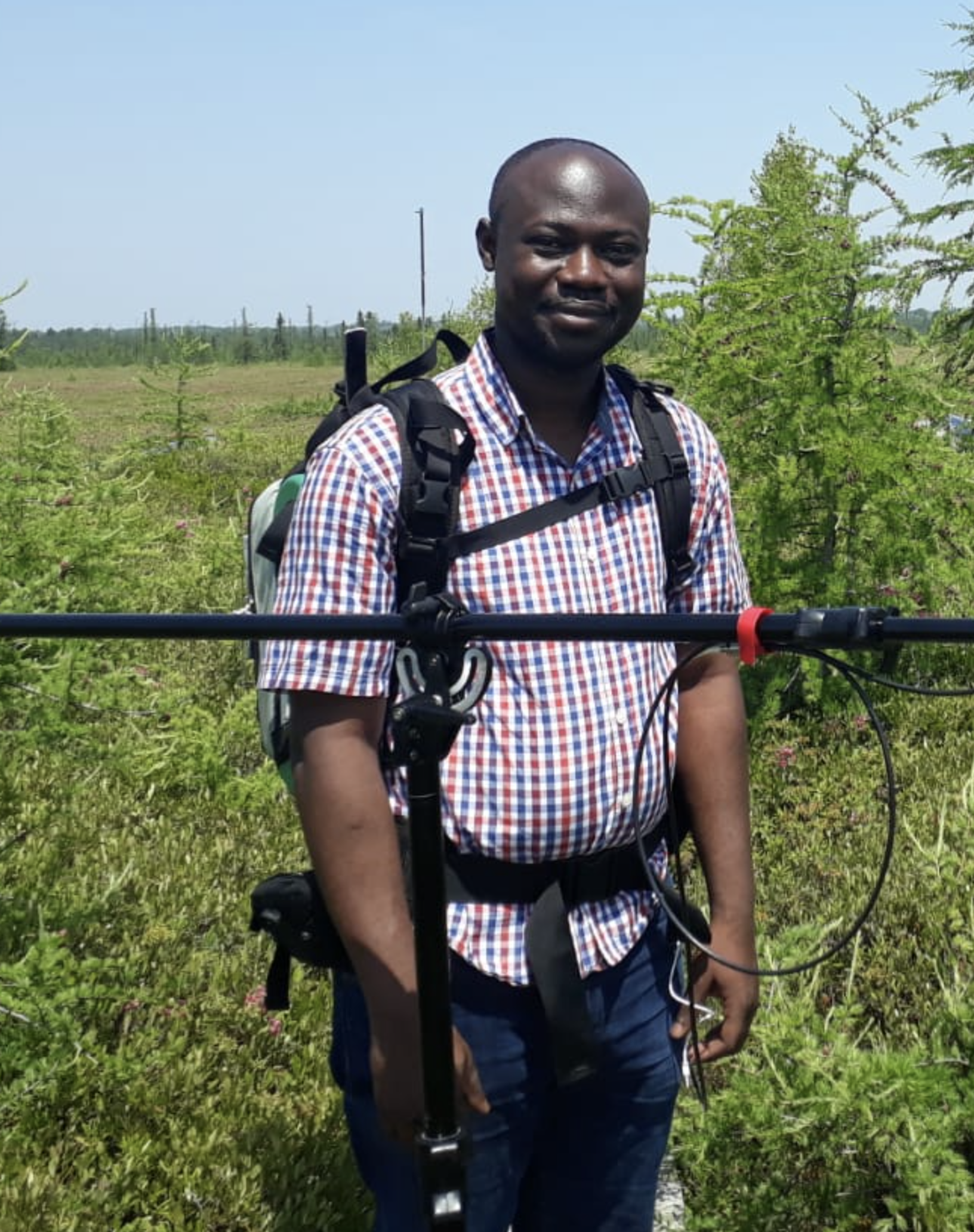
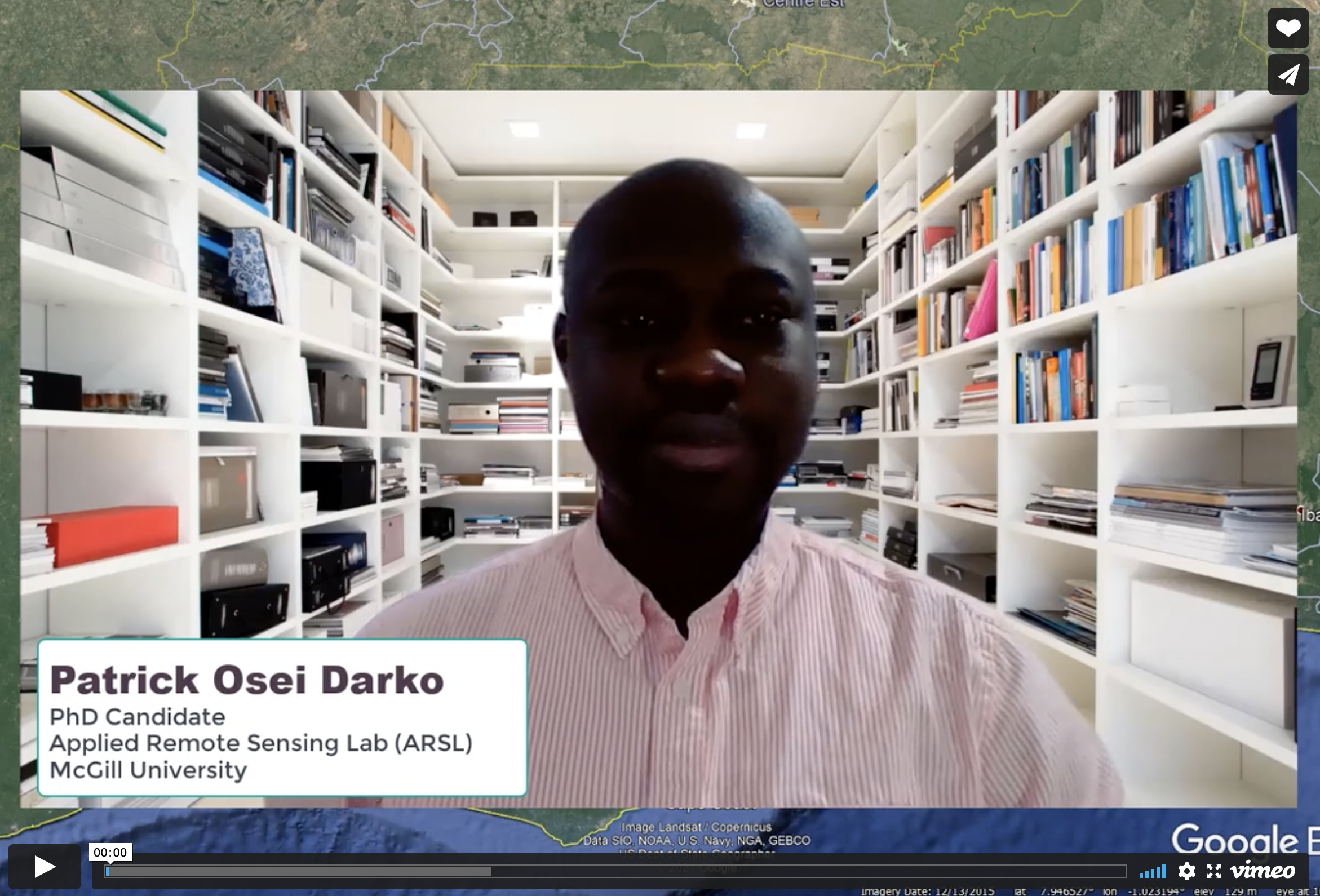
Patrick Osei Darko
Patrick Osei Darko is a PhD student in the Applied Remote Sensing Laboratory (ARSL) in the department of Geography, McGill University. He is supervised by Prof. Margaret Kalacska and Dr. Pablo Arroyo-Mora. Patrick's research explores how hyperspectral remote sensing techniques based on airborne and UAV technology can be used for mapping forest traits and species composition in support of global forest conservation efforts and climate change mitigation strategies. Patrick is an experienced mining professional from Ghana who is very passionate about the applications of remote sensing techniques for questions related to environmental sustainability. He was part of a team in the mining industry that implemented a continent-wide information system for land and environmental management which received the Special Achievement (SAG) award in 2018 from ESRI. After his undergraduate degree in Geomatic Engineering (2011), Patrick continued to earn a postgraduate degree in same field (2013-2016) where he evaluated the utility and effectiveness of remote sensing technologies such as Earth observation satellites (e.g. Landsat) and LiDAR for assessing periodic changes in reclaimed tropical forests in Ghana, West Africa.
Publications
Osei Darko P., Kalacska M., Arroyo-Mora J.P., Fagan M.E. 2021. Spectral Complexity of Hyperspectral Images: A New Approach for Mangrove Classification Remote Sensing 13(13):2604
Lamboj A., Lucanus O., Osei Darko P., Arroyo-Mora J.P. 2020. Habitat loss in the restricted range of the endemic Ghanaian cichlid Limbochromis robertsi Biotropica 52(5):896-912
Molly Urquhart
Molly Urquhart is an MSc student in the volcanology research group in McGill University’s Earth and Planetary Sciences department and the Applied Remote Sensing Lab in Geography where she studies the crater area of Poás volcano in Costa Rica. She is originally from Cheshire, Connecticut and has since lived in New Brunswick, Ontario, Alberta, and Quebec. She received her undergraduate honors degree in Environmental Science at Queen’s University in Kingston, Ontario. She spent her senior year of her undergraduate degree working as the Commissioner of Environmental Sustainability for Queen’s Alma Mater Society, where she was the first person to head this commission within the student government since 2017. She began her master’s degree in the fall of 2021 under the supervision of Dr. Stix of the Earth and Planetary Sciences department and Dr. Margaret Kalacska of the Geography department. Her current research interests explore hydrothermal alteration and the recent collapse events in the active crater of Poás volcano, Costa Rica. Her recent field work in Costa Rica utilized Remotely Piloted Aircraft Systems (RPAS) equipped with LiDAR, photogrammetry, and infrared imaging and field sampling to characterize the crater area of Poás. She hopes this work can better inform our understanding of hydrothermal alterations and can also assist in disaster monitoring of volcanos.
Oliver Lucanus
Oliver Lucanus has been flying drones since the early days of UAS, and maintains and flies the UAS fleet for the Applied Remote Sensing Lab (ARSL) and Canadian Airborne Biodiversity Observatory (CABO). He holds a Transport Canada Advanced Operations Pilot certificate since 2019, a Pix4DMapper Essentials certificate since 2020 and has logged hundreds of flights with many different UAS, including the DJI M600Pro, M300RTK, Inspire 1 and 2, Mavic 2 Enterprise Advanced and others using LiDAR, thermal, photographic and hyperspectral sensors. He is part of the ARSL and National Research Council of Canada team that was the first to integrate the Itres uCASI hyperspectral imager on a UAS. In addition to DJI systems he is also familiar with flight planning and piloting the BFD-X8 with the Hyspex Mjolnir VS-620 hyperspectral imager. He has been an integral part of payload integration, flight planning and piloting for over one hundred missions, including those in controlled airspace. He has coauthored a number of papers using UAS for photogrammetry, thermal imaging, hyperspectral cameras and photography. Currently he is training for BVLOS operations as well as becoming a certified thermographer - to be completed in 2021. Check out his work in freshwater conservation with the Fish+Forest Project
Publications
Recent Alumni (BA/BSc Honor's, MSc, PhD, PDF, Staff)
Kathryn Elmer, MSc 2022
Kathryn Elmer graduated with an MSc in Geography at McGill University as part of the Applied Remote Sensing Lab (ARSL), and received her BSc in Earth System Sciences from McGill University in 2017. She previously worked for the National Research Council of Canada’s Flight Research Lab (Ottawa, Ontario) and ARSL at McGill University (Montreal, Quebec), where she contributed to research on a variety of topics including the use of unmanned aerial vehicles (UAVs) as remote sensing platforms for ecological monitoring, satellite simulations, spatial accuracy of UAV platforms for 3D landscape reconstructions, and various field work campaigns. Her MSc thesis focused on using remote sensing technology, specifically hyperspectral imagery (HSI) acquired using airborne platforms for identifying and mapping the highly invasive plant species Phragmites australis subs. australis as part of CABO. Her field site was Îles-de-Boucherville National Park and she worked to provide the park management team with a park-wide Phragmites identification map. Her work aims to help establish remote sensing and HSI as an effective tool for the management of invasive species around the world.
Publications
Elmer K, Kalacska M, Arroyo-Mora J.P. 2021 Mapping the extent of invasive Phragmites australis subsp. australis from airborne hyperspectral imagery Frontiers in Environmental Science - Environmental Informatics and Remote Sensing 9:496
Elmer K., Kalacska M. 2021. A High-Accuracy GNSS Dataset of Ground Truth Points Collected within Îles-de-Boucherville National Park, Quebec, Canada Data 6(3):32
Elmer K., Soffer R.J., Arroyo-Mora J.P., Kalacska M. 2020. ASDToolkit: A Novel MATLAB Processing Toolbox for ASD Field Spectroscopy Data Data 5(4):96
Arroyo-Mora J.P., Kalacska M., Inamdar D., Soffer R., Lucanus O., Gorman J., Naprstek T., Schaaf E.S., Ifimov G., Elmer K., Leblanc G. 2018. Implementation of a UAV–Hyperspectral Pushbroom Imager for Ecological Monitoring Drones 3(1):12
Kalacska M., Lucanus O., Arroyo-Mora J.P., Laliberté E., Elmer K., Leblanc G., Groves A. 2020. Accuracy of 3D Landscape Reconstruction without Ground Control Points Using Different UAS Platforms Drones 4(2):13
Sienna Svob, MSc 2014
Publications
Svob S., Arroyo-Mora J.P., Kalacska M. 2014 A wood density and aboveground biomass variability assessment using pre-felling inventory data in Costa Rica Carbon Balance and Management 9,9 https://doi.org/10.1186/s13021-014-0009-y
Svob S., Arroyo-Mora J.P., Kalacska M. 2014 The development of a forestry geodatabase for natural forest management plans in Costa Rica Forest Ecology and Management 327(1):240-250
Arroyo-Mora J.P., Svob S., Kalacska M., Chazdon R. 2014 Historical Patterns of Natural Forest Management in Costa Rica: The Good, the Bad and the Ugly Forests 5(7):1777-1797
Thesis: The creation of a forestry relational database and assessment of aboveground biomass variability across Costa Rica using forest management data
Carrie Herzog, MSc 2014
Publications
Kalacska M., Arroyo-Mora J.P., de Gea J., Snirer E., Herzog C., Moore T.R. 2013 Videographic Analysis of Eriophorum vaginatum Spatial Coverage in an Ombotrophic Bog Remote Sensing 5(12):6501-6512
Thesis: A study of the effects of cadaveric decomposition on hyperspectral signatures of soil and vegetation
Gabriela Ifimov, MSc 2015
Erica Skye Schaaf, Research Assistant 2015-2019
Publications
Arroyo-Mora J.P., Kalacska M., Inamdar D., Soffer R., Lucanus O., Gorman J., Narstek T., Schaaf E.S., Ifimov G., Elmer K., Leblanc G. 2019. Implementation of a UAV–Hyperspectral Pushbroom Imager for Ecological Monitoring Drones 3(1),12
Arroyo-Mora J.P., Kalacska M., Soffer R., Ifimov G., Leblanc G., Schaaf E.S., Lucanus O. 2016. Evaluation of phenospectral dynamics with Sentinel-2A using a bottom-up approach in a northern ombrotrophic peatland Remote Sensing of Environment 216:544-560.
Dr. J. Pablo Arroyo-Mora, Postdoctoral Fellow 2009-2012
Senior Research Officer, Flight Research Laboratory, National Research Council Canada
Karling Roberts, Technician 2014-2015
Lilian Fradin, Research Assistant 2017
Sarah Allux, BA 2010
Kevin Drouin-Leger, BA 2013
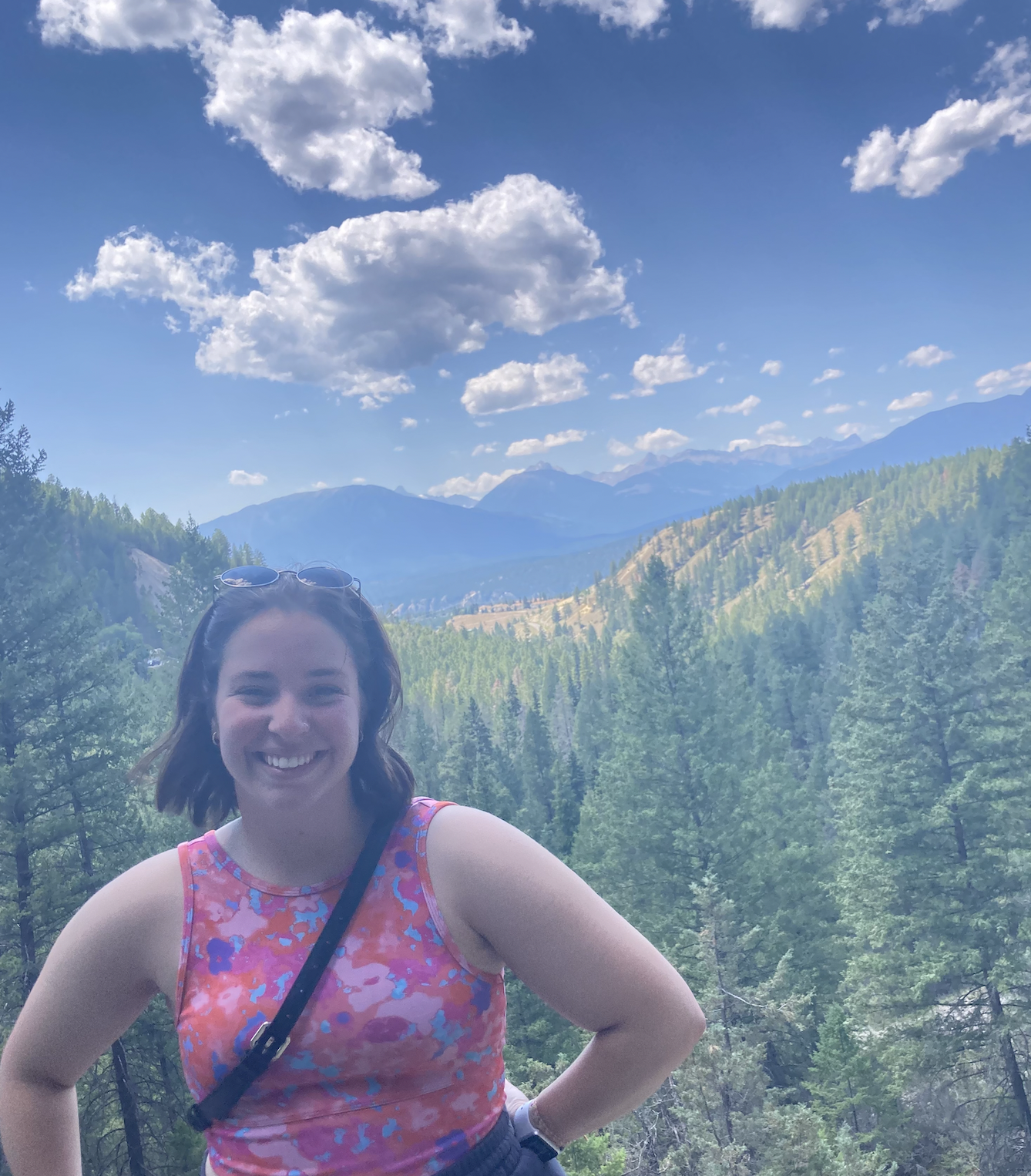
Gillian Rowan, MSc 2022
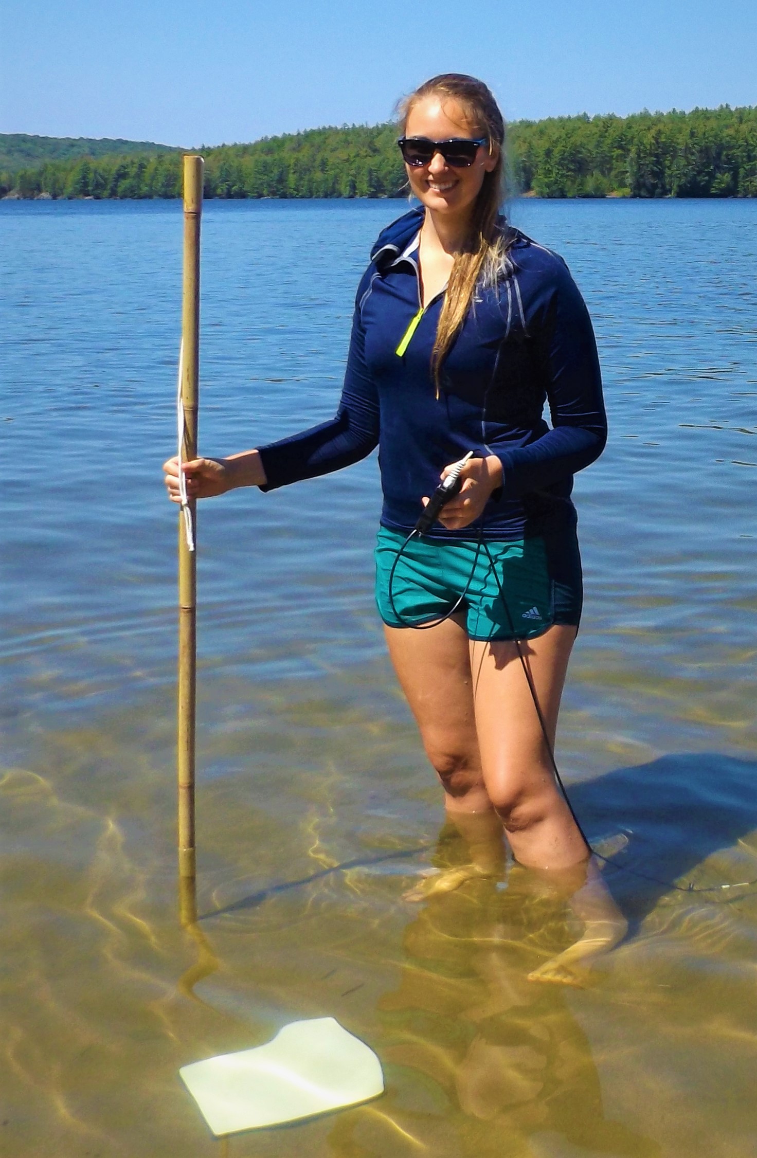
Gillian Rowan graduated with an MSc from the Applied Remote Sensing Laboratory in McGill University's Geography department where she studied remote sensing of aquatic ecosystems. After graduating with a Bachelor of Environmental Science in biodiversity and conservation from McGill University, she worked as the Coordinator of Environmental Affairs for Air Canada. In this position she was involved with carbon reporting, waste management, corporate outreach, and community engagement. Gillian's research examined how remote sensing can be applied to underwater plants, what its limitations are in the aquatic medium, and what information we can reliably use remote sensing to collect. In collecting spectral information about a variety of species of aquatic plants and different water types, she examined how spectrally separable the plants are under various modelled conditions. Understanding and defining the spectral separability of aquatic plants will allow future researchers and ecosystem managers to better target their monitoring efforts and thus increase the efficiency of conservation efforts in aquatic ecosystems.
Publications
Inamdar D., Rowan G., Kalacska M., Arroyo-Mora J.P. 2022. Water column compensation workflow for hyperspectral imaging data MethodsX 9, 101601
Rowan G.S.L., Kalacska M. 2021. A Review of Remote Sensing of Submerged Aquatic Vegetation for Non-Specialists Remote Sensing 13(4):623
Rowan G.S.L., Kalacska M., Inamdar D., Arroyo-Mora J.P., Soffer R. 2021. Multi-scale spectral separability of submerged aquatic vegetation species in a freshwater ecosystem. Frontiers in Environmental Science - Freshwater Science 9:438
Mark Lalond, MSc 2014
Publications
Kalacska M., Lalonde M., Moore T.R. 2015. Estimation of foliar chlorophyll and nitrogen content in an ombrotrophic bog from hyperspectral data: Scaling from leaf to image Remote Sensing of Environment 169:270-279
Thesis (MSc): The hyperspectral determination of Sphagnum water content in a bog
Thesis (BSc): Using Hyperspectral Remote Sensing to Estimate Foliar Chlorophyll and Nitrogen Concentrations in an Ombrotrophic Peatland
Julie de Gea, MSc 2015
Publications
Leblanc G., Francis C.M., Soffer R., Kalacska M., de Gea J. 2016. Spectral Reflectance of Polar Bear and Other Large Arctic Mammal Pelts; Potential Applications to Remote Sensing Surveys Remote Sensing 8(4), 273
Kalacska M., Arroyo-Mora J.P., de Gea J., Snirer E., Herzog C., Moore T.R. 2013 Videographic Analysis of Eriophorum vaginatum Spatial Coverage in an Ombotrophic Bog Remote Sensing 5(12), 6501-6512
Thesis (MSc): Phenology of vegetation light-use efficiency and reflectance: experiment over two boreal ecosystems
Thesis (BSc): Discriminating between grave sites and non-grave sites using conventional remote sensing methods
Dr. Rachid Hedjam, Postdoctoral Fellow 2013-2017
Assistant Professor, Department of Computer Science, Sultan Qaboos University
Frank Ferber, Technician 2012-2013
Ian Tattersfield, Research Assistant 2016-2017
Tristan Grupp, Research Assistant 2018-2019
Grace Pigeau, Research Assistant 2017
Oliver Schmidt, Research Assistant 2011-2012
Dr. Deep Inamdar, PhD, 2023
Dr. Deep Inamdar is a recent PhD graduate from McGill University in Geography in the Applied Remote Sensing Laboratory. During his tenure as PhD student he also a research assistant responsible for processing the hyperspectral imaging data collected for the Canadian Airborne Biodiversity Observatory, an initiative to understand the changes in plant biodiversity on a local, regional, and national scale using spectronomics. Dr. Inamdar completed his undergraduate degree at McMaster University in the Integrated Science program, concentrating in Mathematics and Statistics. During his undergraduate studies, he was a research assistant at the National Research Council of Canada in the Flight Research Laboratory, where he developed image processing and analysis tools. He is interested in developing tools to study peatland ecosystems with remote sensing technologies. His work aims to model the resilience of peatlands to climate change and the consequences of destabilized ecosystems.
Publications
Inamdar D., Kalacska M., Osei Darko P., Arroyo-Mora J.P., Leblanc G. 2023. Spatial Response Resampling (SR2): Accounting for the Spatial Point Spread Function in Hyperspectral Image Simulation MethodsX 10(101998)
Inamdar D., Rowan G., Kalacska M., Arroyo-Mora J.P. 2022. Water column compensation workflow for hyperspectral imaging data MethodsX 9, 101601
Inamdar D., Kalacska M., Arroyo-Mora J.P., Leblanc G. 2021. The Directly-Georeferenced Hyperspectral Point Cloud: Preserving the Integrity of Hyperspectral Imaging Data Frontiers in Remote Sensing - Data Fusion 2:9
Inamdar D., Kalacska M., Leblanc G., Arroyo-Mora J.P. 2021. Implementation of the directly-georeferenced hyperspectral point cloud MethodsX 8:101429
Inamdar D., Kalacska M., Leblanc G., Arroyo-Mora J.P. 2020. Characterizing and Mitigating Sensor Generated Spatial Correlations in Airborne Hyperspectral Imaging Data Remote Sensing 12(4):641
Inamdar D., Leblanc G., Soffer R., Kalacska M. 2018. The Correlation Coefficient as a Simple Tool for the Localization of Errors in Spectroscopic Imaging Data Remote Sensing 10(2):231
Arroyo-Mora J.P., Kalacska M., Inamdar D., Soffer R., Lucanos O., Gorman J., Naprstek T., Schaaf E.S., Ifimov G., Elmer K., Leblanc G. 2018. Implementation of a UAV–Hyperspectral Pushbroom Imager for Ecological Monitoring Drones 3(1):12
Kalacska M., Arroyo-Mora J.P., Soffer R.J., Roulet N.T., Moore T.R., Humphreys E., Leblanc G., Lucanus O., Inamdar D. 2018. Estimating Peatland Water Table Depth and Net Ecosystem Exchange: A Comparison between Satellite and Airborne Imagery Remote Sensing 10(5):687
Arroyo-Mora J.P., Kalacska M., Soffer R.J., Moore T.R., Roulet N.T., Juutinen S., Ifimov G., Leblanc G., Inamdar D. 2018. Airborne Hyperspectral Evaluation of Maximum Gross Photosynthesis, Gravimetric Water Content, and CO2 Uptake Efficiency of the Mer Bleue Ombrotrophic Peatland Remote Sensing 10(4):565
Alizée Girard (U. de Montréal), MSc 2019
Publications
Girard A., Schweiger A.K., Carteron A., Kalacska M., Laliberté E. 2020. Foliar Spectra and Traits of Bog Plants across Nitrogen Deposition Gradients Remote Sensing 12(15), 2448
Thesis: Propriétés fonctionnelles et spectrales d’espèces végétales de tourbières ombrotrophes le long d’un gradient de déposition d’azote
Eva Snirer, MSc 2014
Publications
Kalacska M., Arroyo-Mora J.P., de Gea J., Snirer E., Herzog C., Moore T.R. 2013 Videographic Analysis of Eriophorum vaginatum Spatial Coverage in an Ombotrophic Bog Remote Sensing 5(12):6501-6512
Thesis: Hyperspectral remote sensing of individual gravesites - exploring the effects of cadaver decomposition on vegetation and soil spectra
Fanny Amyot, MSc 2020
Carlomagno Soto, MSc 2015
Dr. Benjamin Heumann, Postdoctoral Fellow 2011-2012
Associate Professor, Central Michigan University
Dr. Jin Xing, PhD 2018
Assistant Professor, Newcastle University
Publications
Xing J., Sieber R., Kalacska M. 2014. The challenges of image segmentation in big remotely sensed imagery data Annals of GIS 20(4): 233-244
Thesis: Scale handling for land use/cover change in an era of big data
Google Scholar profile
Natalie Cornish, BSc 2014
Jennifer Bracewell, Project Manager 2016-2018
Cameron Roy, Research Assistant 2016
Applied Remote Sensing Lab
Department of Geography
McGill University
805 Sherbrooke West
Burnside Hall 305
Montreal, QC H3A 0B9
Canada
Project
About Us
Newsletter
Coming soon!