At ARSL we carry out multi-disciplinary research contributing to the advancement of remote sensing applications in environmental science and infrastructure information modelling. We work with a range of platforms from Unmanned Aerial systems to spaceborne data. Our current research focuses on:
- Unmanned Aerial Systems (UAS) integration
- Hyperspectral data
- Airborne imagery
- LiDAR
- Thermal imaging
- SfM photogrammetry
- Regional-scale satellite image analysis
- Cubesat image analysis
- Data fusion
- Virtual reality visualization
Click on the themes below for descriptions of our ongoing projects or click here to see our latest social media feeds.
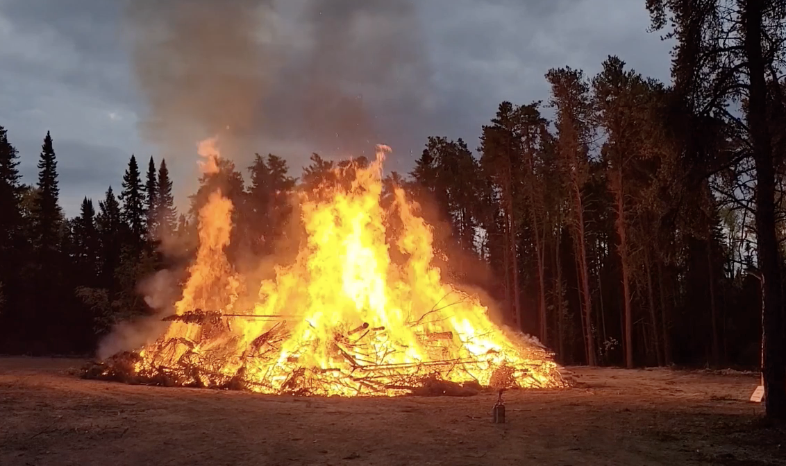
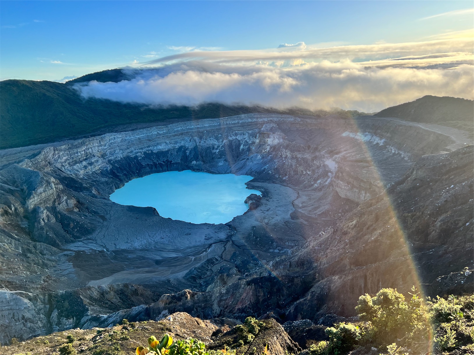
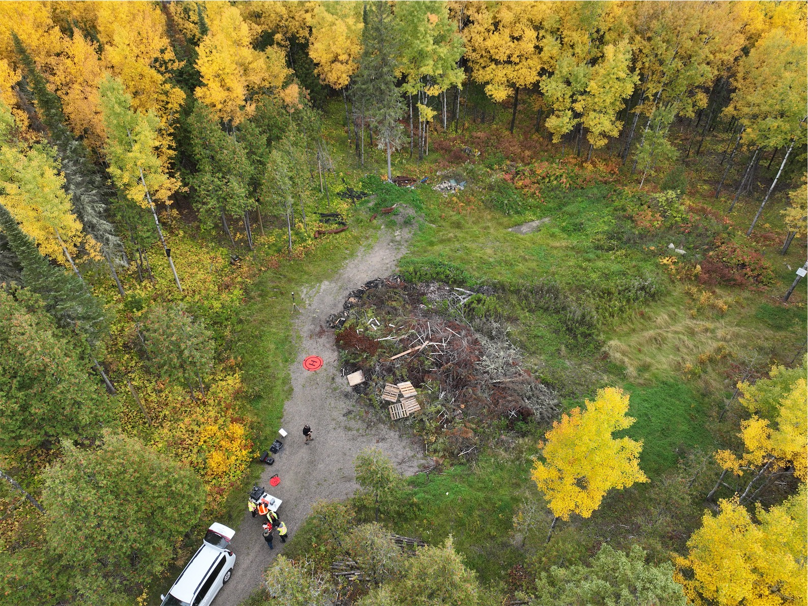
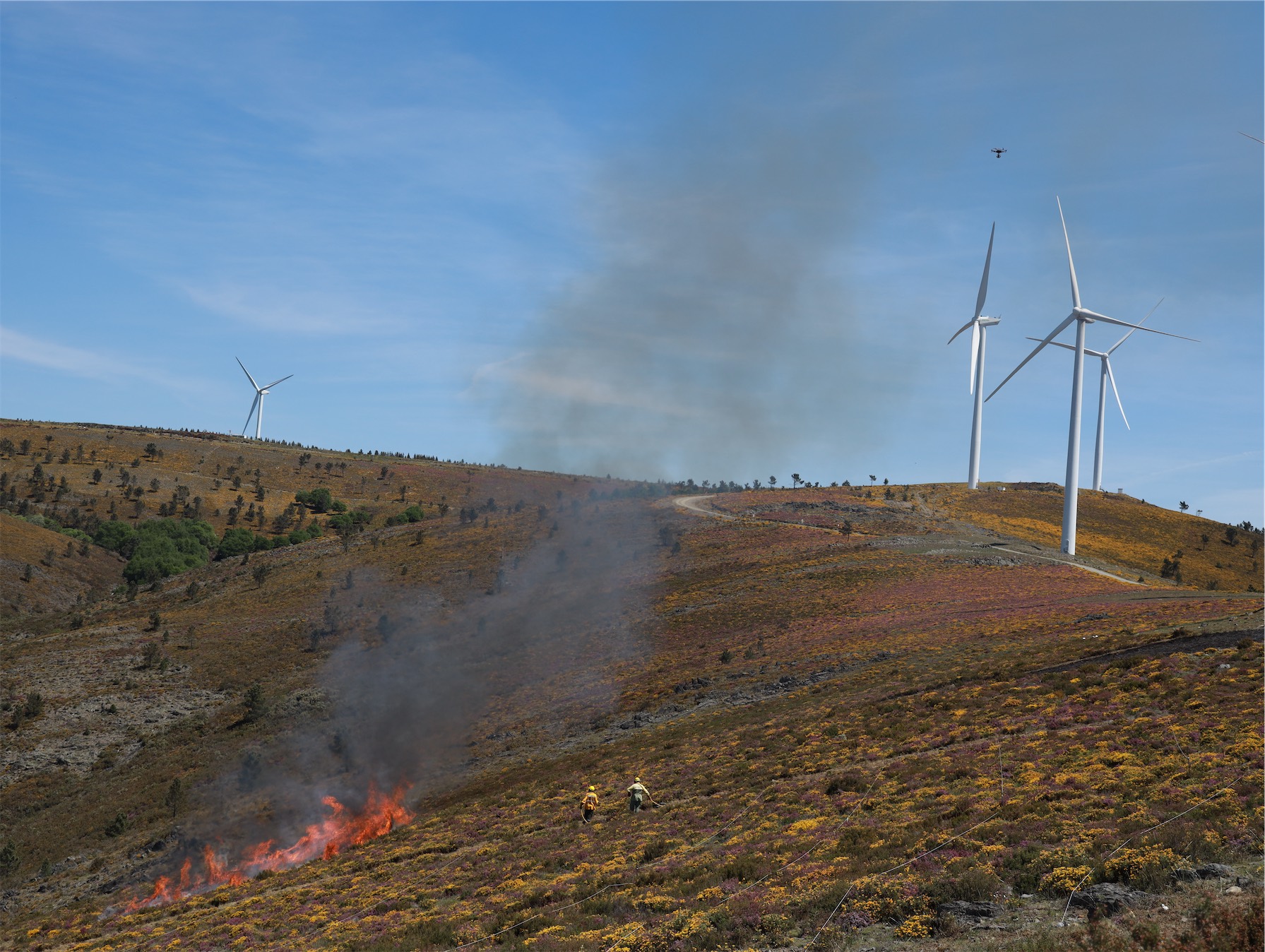
We are leading an intensive research program applying RPAS to natural hazards with a focus on wildfires and volcanoes. More details to come soon!
Check out our latest wildfire research video and our Poás volcano video.
Applied Remote Sensing Lab
Department of Geography
McGill University
805 Sherbrooke West
Burnside Hall 305
Montreal, QC H3A 0B9
Canada
Project
About Us
Newsletter
Coming soon!